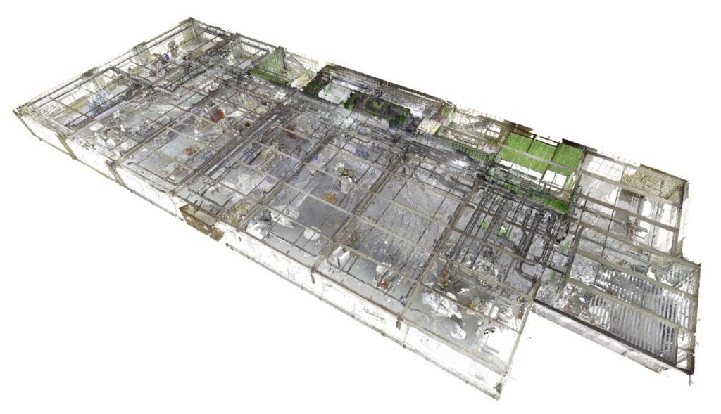
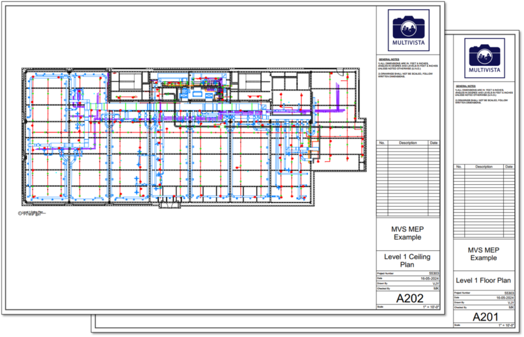
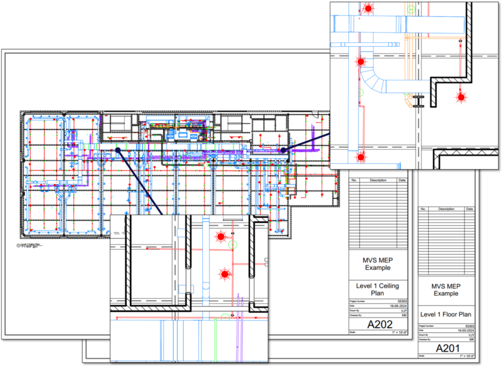
(with optional annotations and drawn elements; millwork, furniture and MEP)
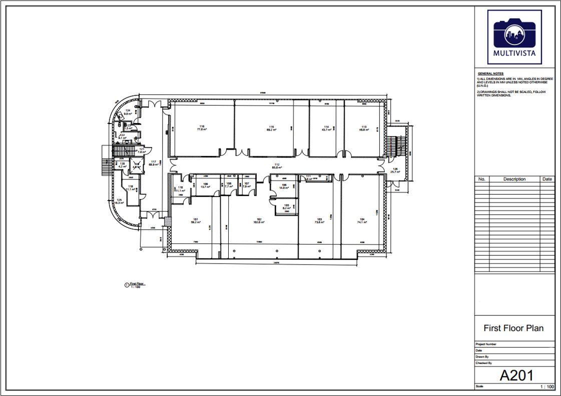
(with optional annotations and drawn elements; MEP)
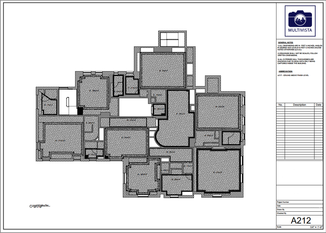
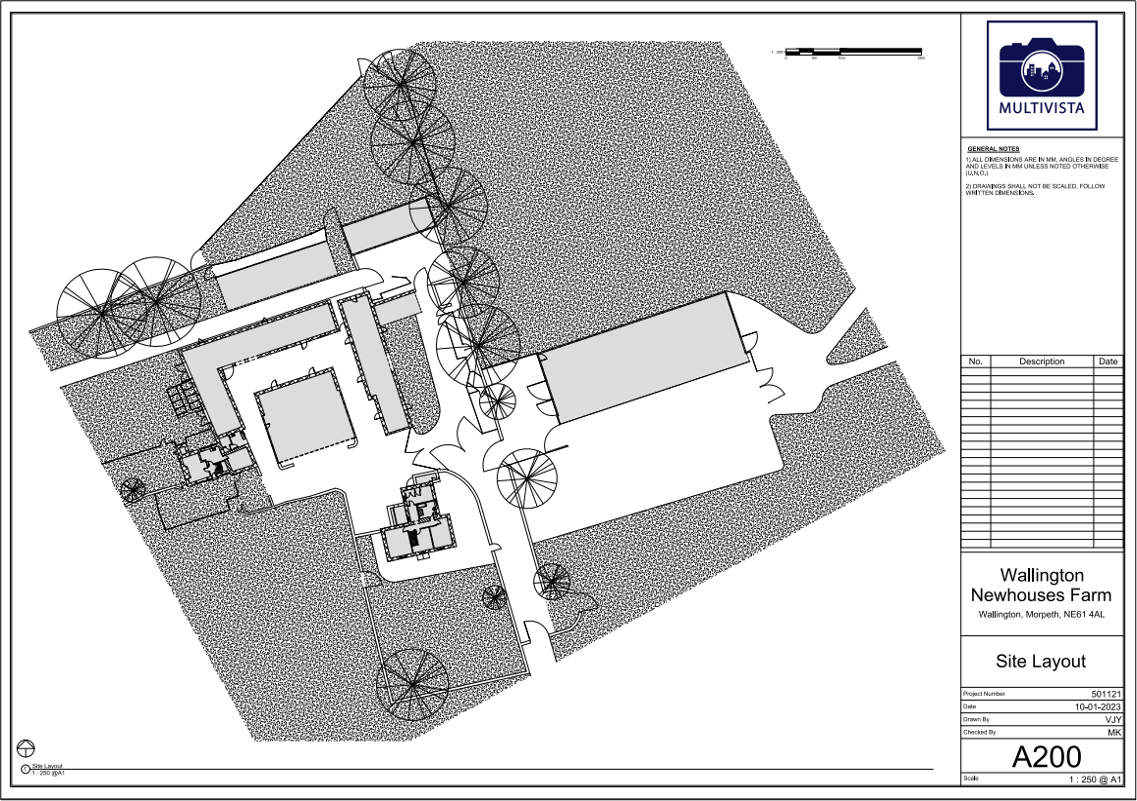
(with optional annotations)
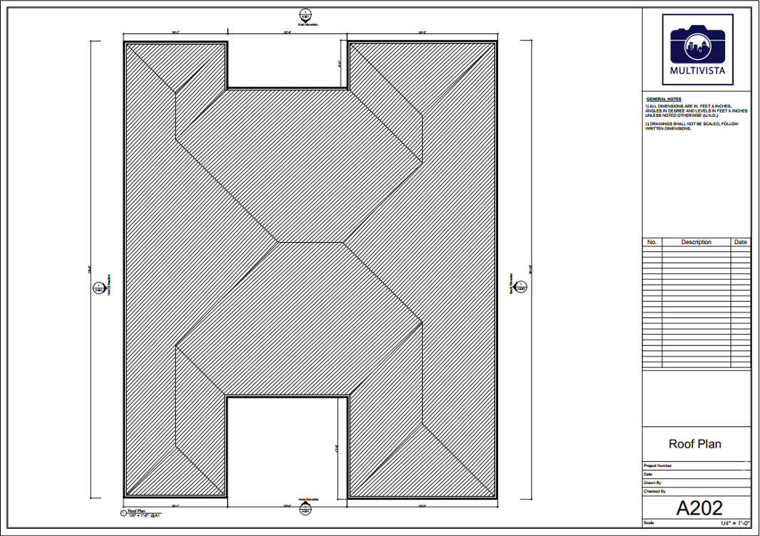
(with optional annotations)
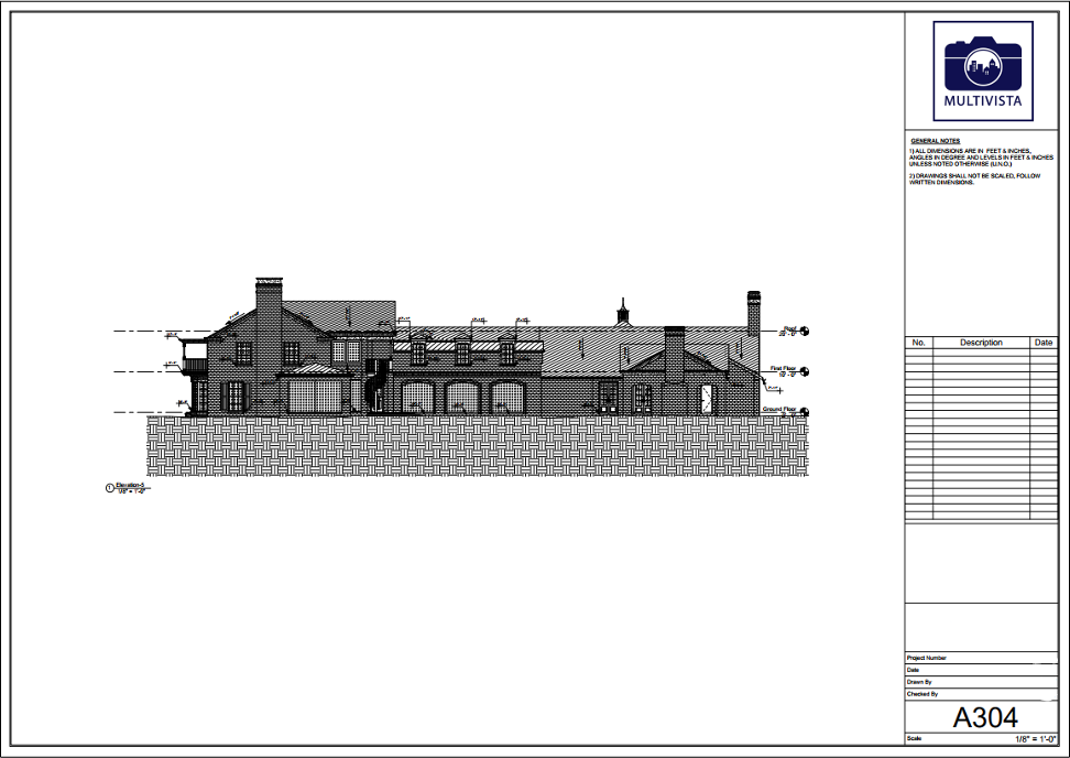
(with optional annotations)
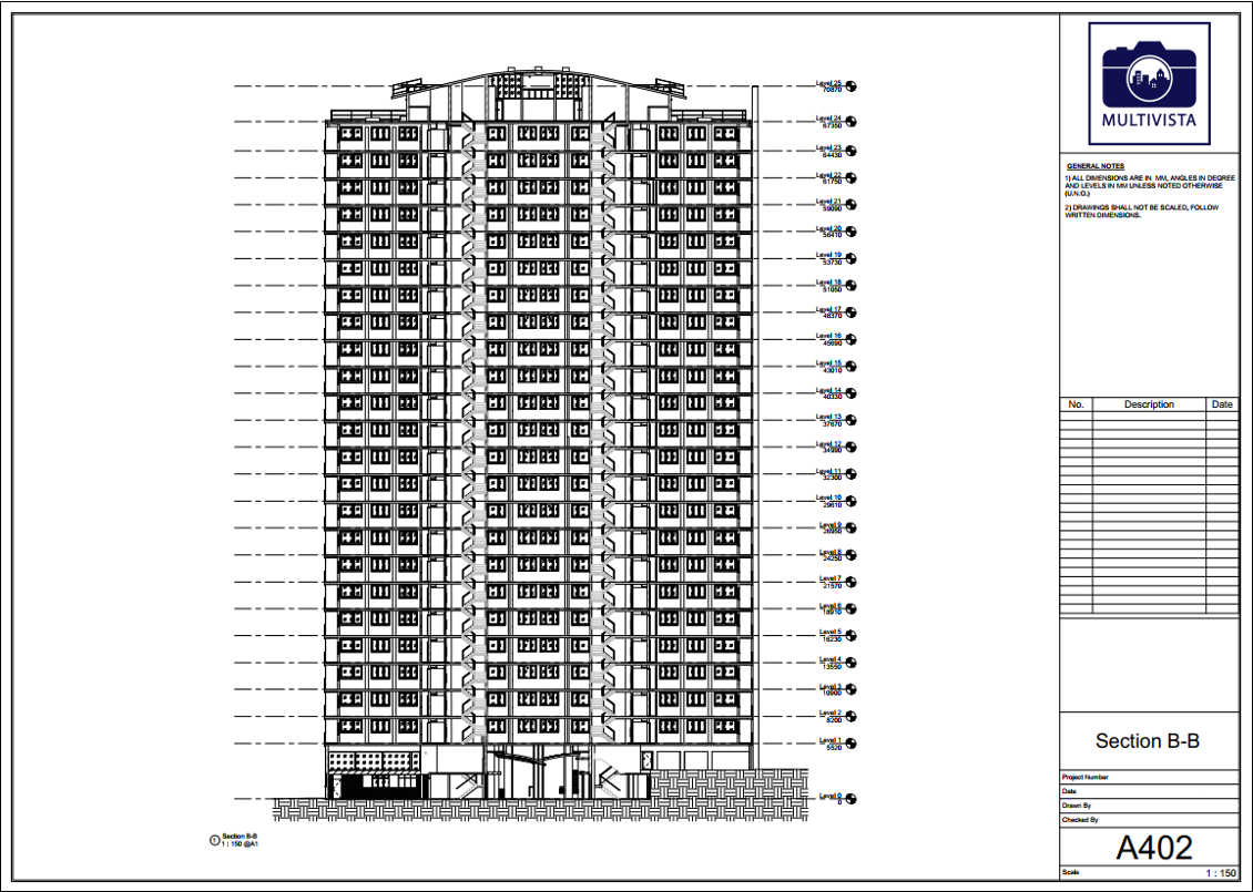
(with optional annotations)
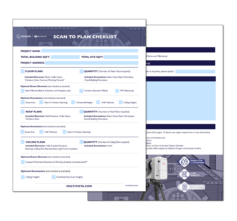
Our checklist is designed to make procuring Scan to Plan easy. Digitally complete the form, tick the standard drawing packages you require for your project, send it to us and we do the rest.
Tell us how you want it drawn, if you have a CAD template and what version and file formats you need.
Download the checklist below and contact us for a quote.
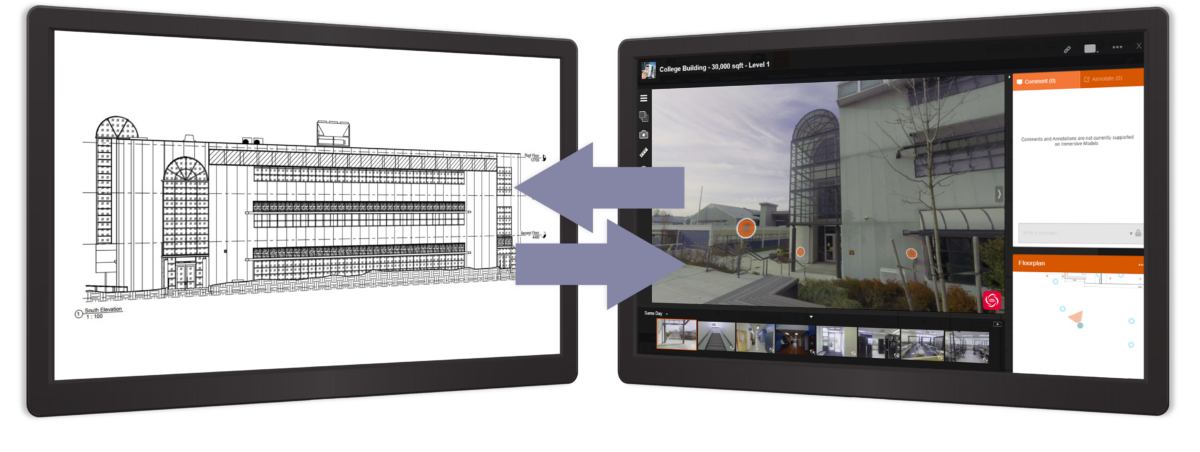
Virtually tour and interact with 3D point cloud data on the Multivista online platform. Users can navigate real-world locations captured using Leica Geosystems laser scanners and dimension, mark-up and collaborate through any standard web browser, or through the Multivista app.
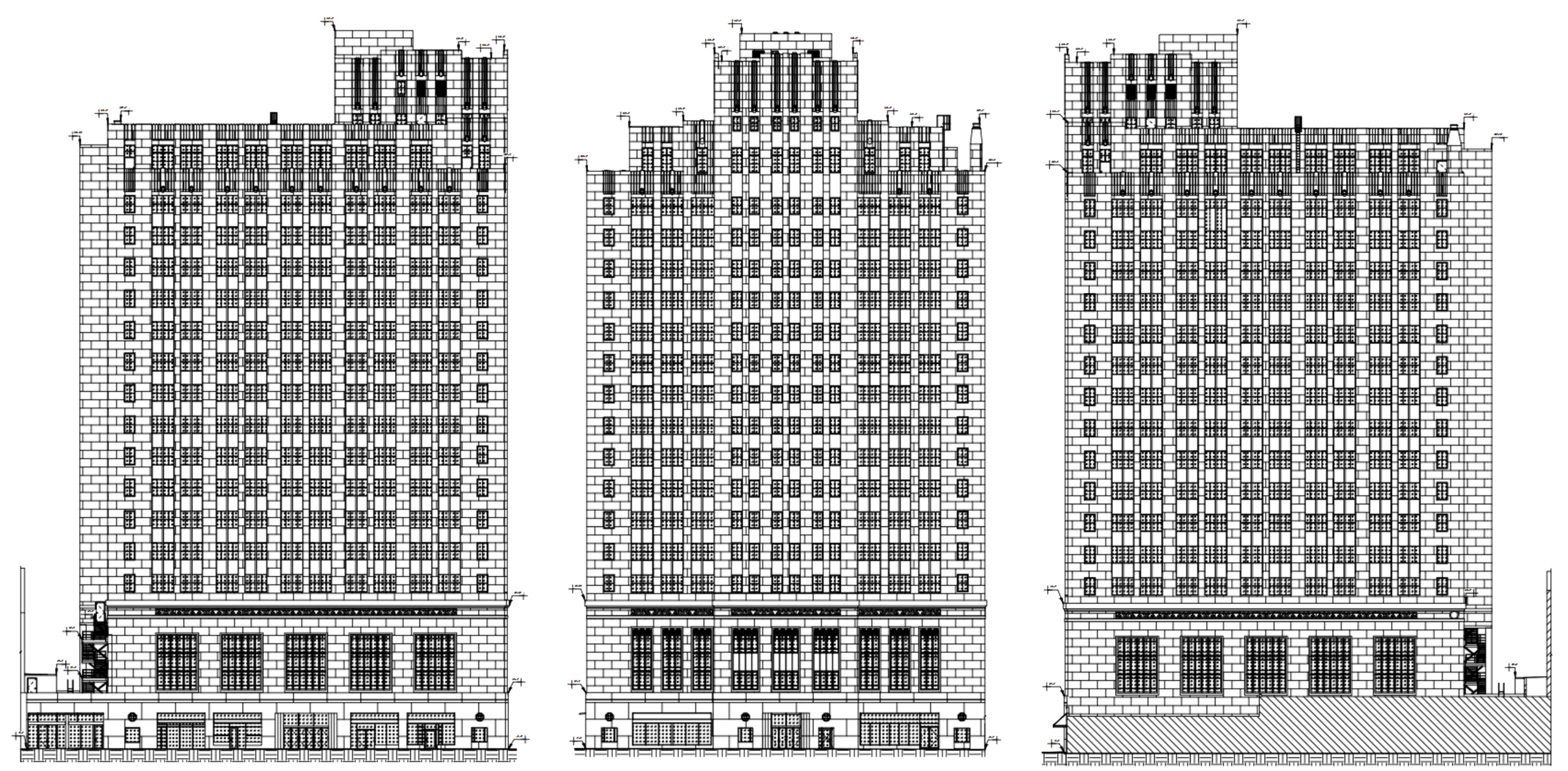
To help with the heritage building analysis, Multivista performed 3D Laser Scanning of the exterior facade of this historic structure.
Using the point cloud data, Multivista provided RJ Heisenbottle’s team with 2D CAD drawings along with the online TruView viewing tool that helped their design teams to visually inspect the entire building, including roofs, virtually and understand exact elevations and key architectural details.