Project managers struggle to verify work quality when consumed by financials and paperwork. This creates significant problems — approximately 30% of the work performed by construction firms is actually rework.
Remote monitoring technology solves this challenge by helping teams improve quality, decrease turnaround times, handle critical processes faster, and increase profits.
Remote construction monitoring technology
What technologies make remote monitoring possible on a modern job site?
Software & Documentation Platforms
Construction documentation platforms like Multivista and project management tools such as Procore, PlanGrid, or Aconex serve as the foundational window for remote monitoring, with seamless integrations between systems so teams work from a single source of truth.
Visual Capture Methods
A range of visual capture methods feeds those platforms: progress and Exact-Built photography, live webcams, UAV/drone photography and mapping, and immersive 360 walkthroughs. Together they give stakeholders comprehensive, time-indexed visibility of the job site from anywhere.
Key Benefits
Reduce quality issues
Remote monitoring lets project managers spend more time checking the project for issues and determine whether problems are isolated or systemic, enabling proactive quality improvement.
Reduce delays
Engineers can review site issues remotely without traveling, allowing work teams to resume immediately instead of waiting days for an on-site visit.
Hold more effective meetings
Progress and OAC meetings become data-driven, using actual site conditions instead of speculation to align all stakeholders.
Make the most of your time
Project managers can identify priority areas remotely before site visits, maximizing on-site productivity when they do go.
Remote documentation streamlines change order completion and approval, helping you bill and get paid faster with fewer disputes.
Critical processes, transformed
Remote monitoring reshapes the everyday processes that slow projects down. Here is the before and after.
RFIs
Before: each RFI costs roughly $1,000 on average and responses take weeks, with one in four going unanswered due to site-visit requirements. After: interactive floor plans with photo documentation enable immediate, remote RFI responses.
Submittals
Before: a paperwork-heavy process that clogs communications, with architects rarely verifying installed materials. After: project management software plus photography and virtual walkthroughs let stakeholders verify material compliance post-installation.
Observations & Inspections
Before: on-site inspections cannot comprehensively cover all work before the project advances. After: detailed UAV photographs enable comprehensive remote observation of hard-to-access areas like high-rise windows.
Change Orders
Before: verification requires site visits and manual photography. After: time- and location-indexed photographs already exist in interactive floor plans, enabling quick remote change order closure.
How different
stakeholders use it
Construction Photography
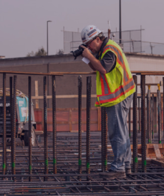
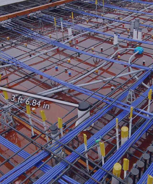
Three types: progress photography at regular intervals, Exact-Built documentation for pre-cover-up milestones (utilities, weatherproofing, MEP systems), and measurable 3D images for remote measurements.
Webcams
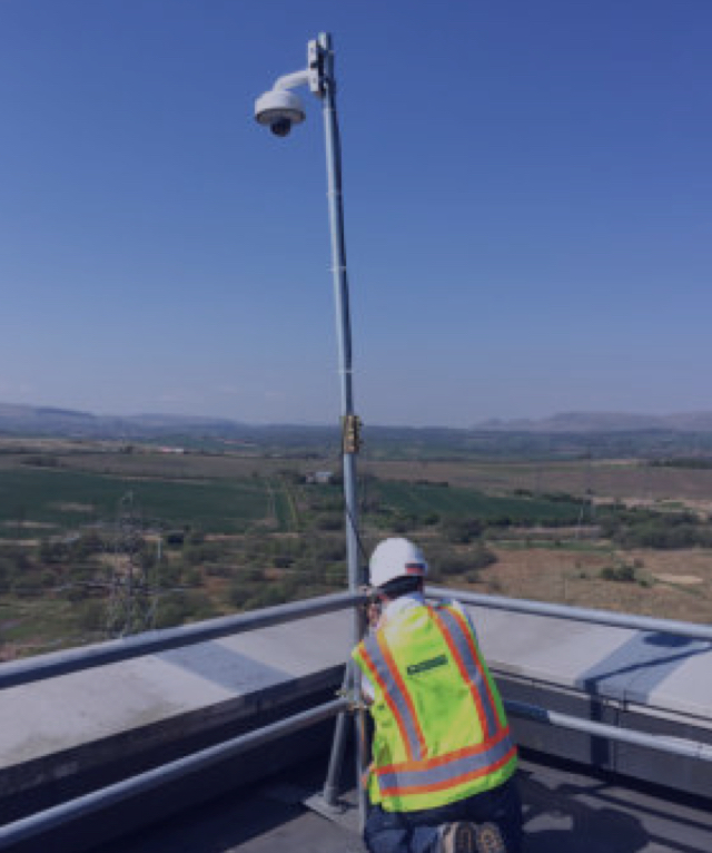
Live-streaming webcams with optional pan/tilt/zoom controls provide real-time visibility from multiple vantage points, letting stakeholders monitor progress remotely.
UAVs & Drones
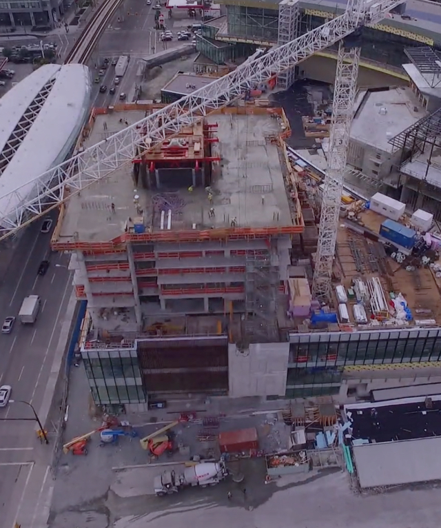
UAV photography and video provide birds-eye views and access to hard-to-reach areas. UAV mapping processes drone photos into interactive 2D/3D maps allowing remote measurement and annotation.
Immersive 3D Walkthroughs
Site-Walk 360 lets users virtually walk job sites anytime, anywhere, creating or responding to RFIs directly within the platform.
Software & Integrations
Documentation platforms like Multivista integrate with project management tools such as Procore, PlanGrid, and Aconex, so all visual data flows into the systems your teams already use.
Remote monitoring is not some far-off future
Remote construction site monitoring is an established solution implemented across tens of thousands of projects worldwide.
As construction firms increasingly adopt visual documentation combined with project management software, remote monitoring becomes essential to a successful project strategy — not a future nice-to-have, but a present-day competitive necessity.
Add remote monitoring to your next project
As the global leader in construction documentation, Multivista gives you the remote visibility you need to manage projects from anywhere. Combine photography, webcams, drones, and immersive walkthroughs in a single secure, cloud-based platform.
Here is how it works:
Your local Multivista team works with you to build a documentation schedule that fits your project.
We capture progress and Exact-Built photography, live webcam feeds, UAV mapping, and 360 walkthroughs.
All data is time- and location-indexed in interactive floor plans.
Your team accesses, shares, and acts on it from any internet-connected device, with integrations into your project management tools.
Success Case
Darden & Company - Aerial Mapping
An example of how aerial mapping was used for progress monitoring and timeline reduction on a major American construction project. Darden & Company leveraged drone/UAV mapping to keep stakeholders aligned and accelerate decision-making.