

More construction teams are using 3D laser scanning on their jobsites, but for people unfamiliar with these tools, one of the first questions they ask is: How accurate are laser scanners?
The short answer is: very accurate. Modern construction-grade laser scanners can capture measurements with millimeter-level precision.
For construction and design teams, the more important question is often: What can we do with that accuracy?
At Multivista, part of Hexagon, 3D laser scanning is about more than collecting millions of data points; it’s about creating a trusted digital record of real-world conditions that project teams can use to verify work, improve coordination, reduce rework, empower automated analysis tools, and make more informed decisions throughout the construction lifecycle.
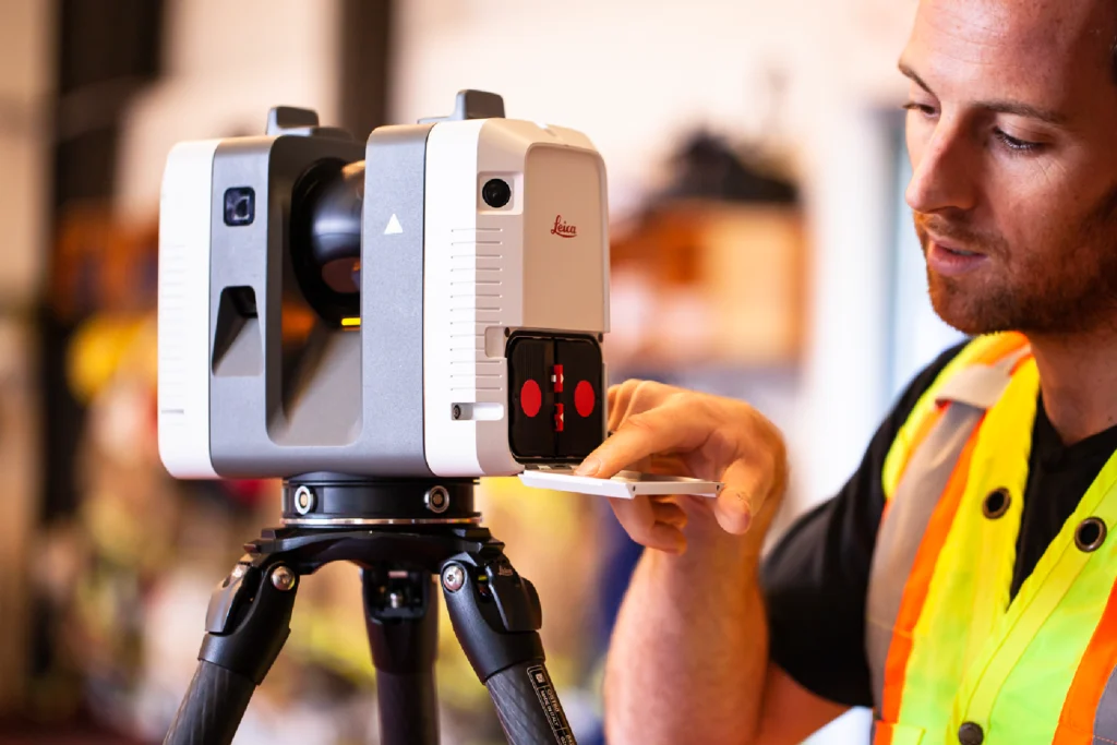
How accurate is the Leica RTC360?
As part of Hexagon, Multivista has access to innovative scanning technology from Leica Geosystems. Our reality capture teams use the Leica RTC360 scanner to capture highly accurate point cloud data. According to Leica’s published specifications, the RTC360 delivers various levels of accuracy depending on how far the object measured is from the scanner. Leica’s specs state:
3D point accuracy of 1.9 mm at 10 m (.075 inches at 32.8 feet)
2.9 mm at 20 m (.11 inches at 65.6 feet)
5.3 mm at 40 m (.208 inches at 131.2 feet)
Independent research also confirmed the scanner’s performance. A 2024 study from Graz University of Technology found that measured distance deviations remained within Leica’s published accuracy specifications during extensive laboratory testing.
“The scanner is the most accurate digital tool to capture vast amounts of data,” says Mark King, Senior Product Manager – Reality Capture at Hexagon Multivista. “That level of accuracy is incredible. But bear in mind that those specs are from a single scan in a laboratory setting, not hundreds of scans in a real-world construction environment that are then all linked together. A building can be hundreds of feet wide, creating more variables and potential deviation. On actual scanning jobs made up of hundreds of scans, we generally see typical accuracy for a Multivista point cloud in around 6-8mm or 1/4inch.”
In practical terms, this means construction teams can rely on RTC360 laser scan data to document existing conditions, create accurate as-built records, and validate whether installations match design intent.
King adds that Multivista scanning teams are already starting to work with RTC500, one of the newest Leica Geosystems scanners that promises even more accurate measurements than the 360.
Accuracy creates digital truth
A laser scanner shows value to construction teams both by measuring spaces accurately and by creating a reliable representation of reality.
Accurate point cloud data provides what many project teams refer to as a source of “digital truth” – a measurable record of what actually exists on site rather than what was originally designed or assumed. Being able to pull accurate measurements from a digital representation of reality, rather than a planned model, means teams are working with real-world data to find real-world answers or solutions to their problems.
“You can’t manage what you don’t measure,” Mark King points out.
What does Multivista deliver?
Multivista’s 3D laser scanning service sees our trained technicians come on site to capture precise as-built point cloud data and imagery that can be viewed, measured, and shared across project teams. Standard deliverables include fully registered point clouds in industry-standard formats such as LGSx and RCP/RCS, along with browser-based access for collaboration and measurement.
These deliverables support a wide range of workflows, including:
- Existing conditions documentation
- Renovation and refurbishment planning
- Construction verification
- Scan-to-Plan services
- Scan-to-BIM modelling
- Asset management and facilities workflows
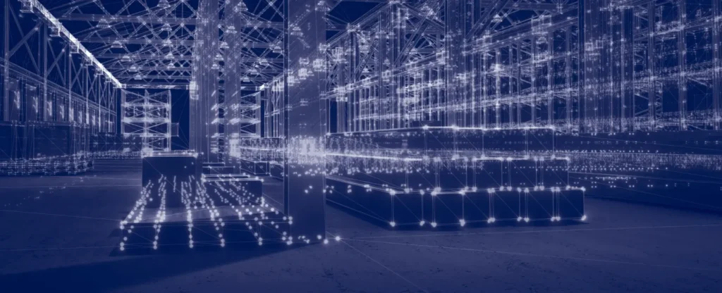
Accurate point clouds power advanced analysis
For many projects, the point cloud itself is only the beginning.
Within Hexagon Multivista’s Capture, Create, Analyze services, reality capture data can be transformed into actionable project intelligence. One example is Deviation Analysis, which compares the as-built point cloud against the design model to identify out-of-tolerance installations and potential future clashes.
Where construction teams used to rely on photographic documentation of their mechanical, plumbing, and electrical system installations before cover up, many are now turning to 3D laser scanning: “They still get as-built photographs of the work done,” says Mark King. “But those photos are enriched with point cloud data, which can allow them to also check if there are any deviations from the plan.”
Without accurate reality capture data, these advanced analysis workflows become far less reliable. With it, teams can identify issues earlier, verify construction quality, prevent future clashes, and fix issues before they are covered up and require destructive discovery.
Is 3D laser scanning right for your construction project?
It is if you want to build more accurately, catch problems earlier, and empower automated processes that can save time and money all through the construction process and beyond.
By combining industry-leading laser scanning technology, experienced capture professionals, and advanced data-workflow services like Deviation Analysis, Multivista helps project teams turn highly accurate reality capture data into better outcomes, better decisions, and greater confidence in the work being built.
Reach out for a personalized demo on how Multivista’s 3D Laser Scanning services can help bring more accuracy than ever to your construction project.