Services

Leading construction documentation services

By Construction Professionals, For Construction Professionals
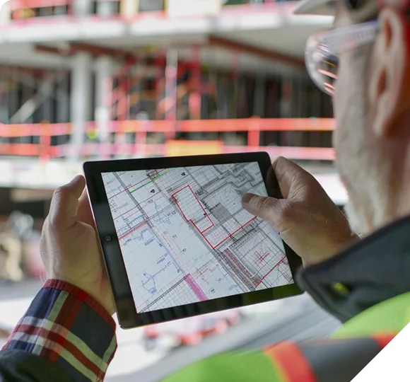
Construction worker in safety gear reviewing building blueprints on a digital tablet.

Delivering results today, innovating for tomorrow

Need to document your construction site’s progress? Multivista offers the world’s leading visual construction documentation services. We combine cutting-edge technology with a client-first philosophy, to provide customized documentation solutions for a wide range of construction industries. Ready to accommodate projects of every size, our services are customizable to your needs and the demands of your project. We understand that capturing your project is critical. Our team of visual documentation specialists are there to offer project management, supervision, and other consulting services related to the Multivista reality capture services you select.

Our Services

Explore our comprehensive range of services designed to give you complete visibility and control over your construction projects.

Scan to Plan

Convert point cloud data into accurate 2D drawings.
Convert 3D laser scan data into precise 2D drawings to reduce change orders, improve coordination, and enable digital twins for lasting lifecycle value.

Learn more

Scan to BIM

Convert point cloud data into 3D as-built models.
Turn your point-cloud data into 3D models for BIM projects, as-built documentation, pre-renovation planning, and architectural, structural, or MEP coordination.

Learn more

Firestopping

Automated tools to accelerate firestopping reviews.
Automated 360° photo analysis detects unsealed penetrations to produce location-tagged reports.

Learn more

Building Progress Reporting

Automated progress tracking by floor or trade.
Automated model-to-photo comparisons that generate accurate schedule-based progress metrics.

Learn more

3D Virtual Walkthrough

3D immersive tours for remote management and visualization.
“Walk” the jobsite remotely at any phase for better QA/QC, inspection and monitoring, validation of as-built conditions, or marketing and promotion.

Learn more

Webcams

Secure, shareable project visibility.
Rugged construction cameras with live streaming video, 24/7 security monitoring, and AI insights for total project visibility.

Learn more

360° Photo

Full-service 360° photos for full project visibility and efficiency.
360° imagery linked to project plans to help ensure quality and empower automated analysis solutions.

Learn more

Self-Capture

Self-capture photos mapped to 2D floor plans for clear, accessible project reality capture.
Self-capture photos and 360° imagery mapped to 2D floor plans create secure, accessible documentation that supports schedules, RFIs, and clear project communication.

Learn more

UAV & Drones

High-resolution aerial imagery and detailed orthomosaic maps for accurate site monitoring.
Trained and certified UAV/drone pilots capture high-resolution drone photos, videos, and ortho maps for progress tracking and QA/QC.

Learn more

3D Laser Scanning

Laser scanning captures precise as-built data with optional drawings, models, and deviation analysis.
Laser scanning captures millimeter-accurate as-built data, reducing site revisits and costly errors. Add-on 2D drawings, 3D models, and deviation analysis support workflows that can evolve into operational digital twins.

Learn more

Video Documentation

Customized professional operations videos of key building systems.
High-definition, site-specific training and operations videos demonstrate proper maintenance, troubleshooting, safety, and operation of key building systems.

Learn more

Photo documentation

High-resolution photos deliver clarity, accountability, and lasting confidence to every project phase.
High-resolution photos create a reliable visual record of every project stage and make it simple to validate as-built conditions, confirm quality, resolve disputes, and keep stakeholders aligned from start to finish.

Learn more

Trusted by

Ready to Start ? Request a Quote